Many maritime companies are including “onboard internet services” in the recruitment of prospective employee’s as retention and the welfare of the crew has become a major priority for ship operators.
“Younger crew will, apparently, refuse to join a ship that does not have the internet,” says Inmarsat’s head of maritime business, James Collett.
So the presence of mobile satellite communications onboard is not necessarily good for the bottom line but has become a necessity for the personnel on the vessels.
“Younger ships’ captains and crew joining a fleet will escalate an increase in bandwidth needs because they understand what this facility means to people onboard,” says James.
“Many older captains still have the attitude that it’s nice but not essential, yet can be heard complaining about the five hours it takes for an email to get from shore to ship.”
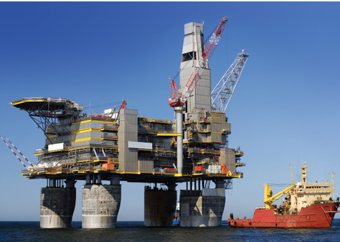
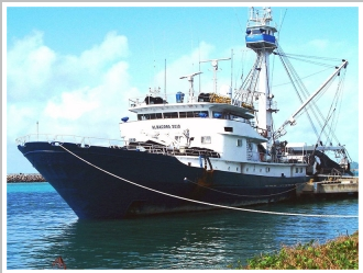
AP Moller-Maersk, a leading marine shipping company put its crew first by having marine satellite services outfitted on hundreds of their ships.
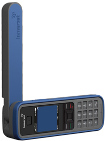
As archaic as the situation seems, before marine satellite services were implemented, the crew could only make voice calls from a single satellite phone with prepaid sim cards and email restricted to 2 messages daily while at sea. Since the satellite communications upgrade, the crew now has access to unlimited email and internet browsing via a WiFi connection accessible on their laptops in any area of the ship. As an example, the merchant tanker Eleonora allocates roughly 25% of the satellite airtime for business operations such as company voice calls and data transfer with 75% set aside for the crew to communicate with the outside world.
“One of the biggest challenges for seafarers remains the isolation and loneliness while at sea and it’s proven that communications technology reduces the stress of being away from family,” says James.
“There is no getting away from the fact that the web has taken over much of our lives.
“At sea or on land, the digital revolution is running our lives faster with email, smartphone apps, and MP3 music files.
“Many people onboard will run their bank accounts, friendships, and even dental appointments via the web.”
Social networking has become the norm for individuals at sea as a way to keep in the conversations back on the mainland with family and friends via Facebook and Twitter.
“It makes business sense to invest in solutions that gain respect, trust and loyalty from seafarers to prevent their skills and experience being lost,” adds James.