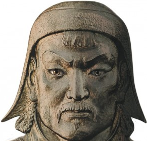
With the help of a portable satellite internet device, archaeologists with the Valley of the Khans research team have been able to analyze crucial data virtually prior to organizing a ground excavation of the potential burial site of Genghis Khan. Members of the public were able to offer assistance with this expedition by helping researchers look through and spot GeoEye-1 satellite imagery of the area in and around Mongolia. The assistance of the public to act as virtual explorers, provided more eyes to sift through all the data using online tools available through the team website.
Every morning the archaeologists would download notes provided by the public explorers – then utilize this info to organize the search on the ground with the use of BGAN satellite and aerial imagery and geomagnetic testing such as ground penetrating radar and electro magnetometers. All this data was made possible for the researchers to access via the portableterminal.
Dr Albert Yu-Min Lin from the University of California, San Diego directed the expedition. “The expansion of our expedition would have been impossible without BGAN. The unit provided us with reliable voice and data connectivity in one of the world’s most remote regions. This helped us maintain the highest levels of safety and productivity while in the field.” The portable BGAN terminal was also used for blogging and sending photos as well as accessing medical analysis from the remote location.

