Research Scientists look to the FB150 Marine Satellite System
FB150 High Speed Satellite Service a “Winner” in Research Vessel Trial
A FleetBroadband 150 (FB150) terminal, an Inmarsat 2009 entry in the marine satellite communications market, completed a successful three month trial aboard the New Zealand Institute of Water and Atmospheric Research (NIWA) vessel Kaharoa.
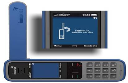
The FB150 is designed for coastal merchant, small leisure, fishing, and government vessels. Service provider Wright Satellite Connections approached NIWA about placing a Thrane & Thrane Sailor® FB 150 aboard for a test run.
NIWA expressed interest in a terminal that would allow communications from the Southern Indian Ocean and offer higher data rates than the ship’s existing Mini M terminal.
The ship’s heavy workload and three month voyage from New Zealand, across the Great Australian Bight, into the Southern Indian Ocean to Durban, South Africa, with return to New Zealand on an even more southerly route, provided a real test of the FB150 high speed satellite internet and satellite voice service. The trial was a success!
Kaharoa’s master, Simon Wadsworth said: “FleetBroadband is a winner. We were able to send and receive large emails, PDFs and so on with no problem - and it was super quick.”
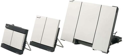
The FleetBroadband 150 terminal allowed the crew to enjoy data exchanges of up to 150kbps – compared with the 2.4kbps possible using the Mini M.
The crew liked the FB150’s compact size and the portable satellite internet service turned out to be more economical for data transfer, resulting in considerable savings on the usual airtime bill. The terminal also saved on manpower as the Kaharoa was able to download weather forecasts directly. The crew was also impressed with the voice quality of the FB150 compared to their existing satellite terminals.
The service made such an impression that when the Kaharoa arrived back in Wellington after her three-month voyage, NIWA’s John Hadfield bought the trial FB150 unit so it could remain aboard.
More about the Kaharoa:
The Kaharoa is a 28-metre (92ft) “advanced floating research centre” with purpose-built trawl nets designed to catch targeted species of fish. It has an onboard laboratory for hydrology, chemistry and marine biology, and carries six crew and six scientists.